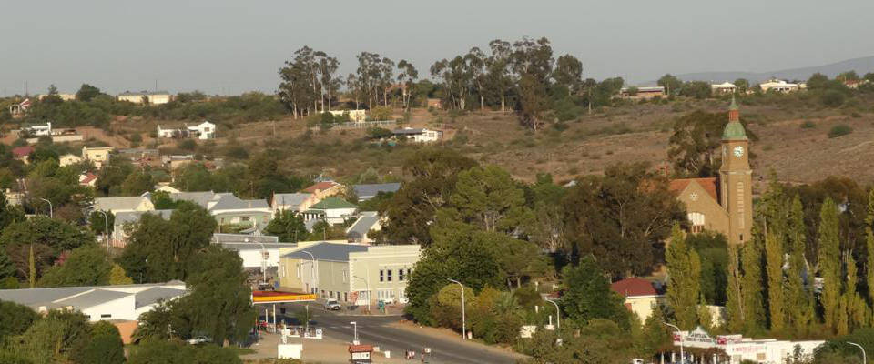
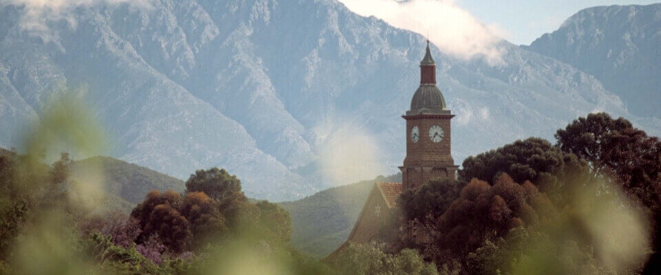
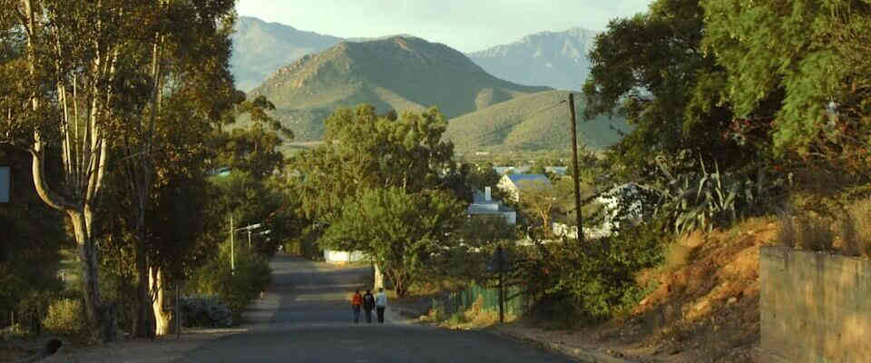
Calitzdorp history

Caltzdorp view of town

Calitzdorp History

This fertile valley was originally a lake. The soil is mainly alluvial and agricultural crops are grown 1 km on either side of the rivers (Nels and Gamka meaning lion in khoi). Early writings prove that the khoi called Kannaland the valley with no grass. Evidence of early San and Khoi peoples are evident in numerous rock paintings found In the surrounding mountains. In 1821, land was granted to JJ and MC Calitz who named it Buffelsvlei. This name was derived from the local vegetation and animals found here. In 1853, the Calitz's donated land for a church and school to be built, as Oudtshoorn proved to be too far to travel for their monthly Nagmaal. In 1910, the population was 4000 and a larger church and school were needed. Both buildings were completed in 1912 The church has a neo-Byzantine style with a Marseilles roof. It is a good example of the sandstone architecture of the ostrich-era In the little Karoo. It was declared a national monument in 1991. Also in 1912 , building commenced on the old Standard Bank building , presently housing the museum , and the Calitzdorp dam. This dam wall was the first of many to be built in South Africa ,using cement. Subsequent drought , the great flu epidemic, and the collapse of the ostrich feather industry ,played havoc amongst the community. New hope however, came to Calitzdorp in the form of a Railway line (in 1924) and Electrification (in 1937 ), as well as the construction of the first cement road between Calitzdorp and Oudtshoorn ( also a first for South Africa ). The new R62 was built in 1978. Today, this Klein Karoo thriving community is known as the Port Wine Capital of South Africa; , and the Fruit Basket of Kannaland.

Calitzdorp Geology

A study of the past establishes a set point in history from which we can perceive our present state in Time, and perhaps look forward into the future using it as a reference. During the early Cretaccous Period the ancient super continent of Gondwana split up and Africa was finally separated from South America, Australia, India and Antarctica, standing alone for the first time. In a period characterized by warm humid conditions with lush vegetation and the big lizards, the earth crust underwent major change as it stretched and split. It was accompanied by violent earthquakes and torrential downpours as rocks fractured and ruptured along the fault lines. Crustal extension was also responsible for the formation of elongate basins such as the Oudtshoorn Basin of the Eastern Little Karoo which extends as far west as Calitzdorp. This basin developed mainly along a deep fracture running from East to West along the base of the Swartberg called the "Kango Fault" (also an important ground water conduit). The basin floor subsided mainly along it's Northern Margin, as rocks were crushed and fractured along the Kango fault line. Accompanying this, rejuvenated rivers on the new highlands of Gamkasberg and Rooiberg as well as from the uplifted area to the North, flowed into the Oudtshoorn basin. They carried with them vast amounts of scree and rock, fractured from the Table Mountain sandstone and Quartzite's from the mountain chains surrounding the Little Karoo, and deposited the on the emerging lake shores. These course continental sediments are unique in being one of the first truly African sediments, having been laid down during the time that the African continent was being formed. They were previously known as Enon Conglomerates but are now called the "Buffelskloof Formation", after a nearby farm. The rounded cobbles and pebbles were laid down in silica rich gravels and sediments and are known as conglomerates. The angular rock scree on the slopes covered by these same sediments are known as Breccias. Along the Northern shores the sediments are rich in an iron mineral called Hematite which oxidized in the warm humid climate to a reddish colour , giving Red Stone Hills it's name. Originally this belt of red, gravel sediments formed the Nothern margin of the Oudtshoorn basin but 100 million years of erosion has left isolated koppies in a band stretching from De Rust almost to Calitzdorp. Initially eroding quite quickly, they formed an outer crust which was somewhat more resistant. However weathering has broken through some of this resulting in small caves and overhangs as well as a rather spectacular Hole-in-the Wall. Due to the highly oxidizing conditions prevalent at the time of their formation, fossil remains are virtually non existent although found elsewhere in other Cretaceous deposits on the shores of the ancient Kango basin as well as in older Jurassic deposits. This has resulted in some difficulties in establishing the exact age of these deposits of red gravel. Incredibly, there are two examples of relict species that have lived on from these ancient times for an uninterrupted span of 100 million years. A Gymnosperm in the form of the cycad "Encephalartos horridus" is still found in secluded valleys and an ancient fish species is still found in perennial streams in the foothills of the Swartberg near Calitzdorp. Courtesy of Geoff Wyatt-Goodall

  • Calitzdorp Snow on Swartberg Mountain

  • Calitzdorp view of river

  • Calitzdorp view with church

  • Calitzdorp view towards Besemkop

  • Calitzdorp view of valley

Accommodation

Calitzdorp accommodation

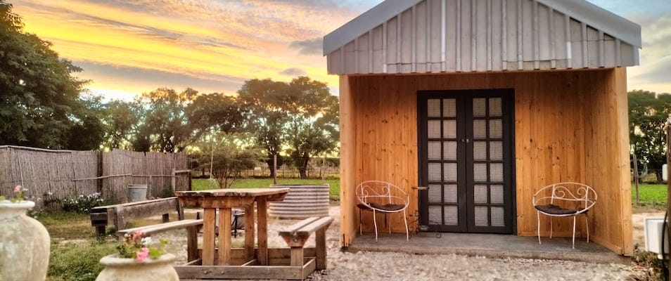
Calitzdorp accommodation caters for every taste, from 5 star guest houses and self catering accommodation to camping. Click on image for more info.

Wine Cellars

Calitzdorp accommodation

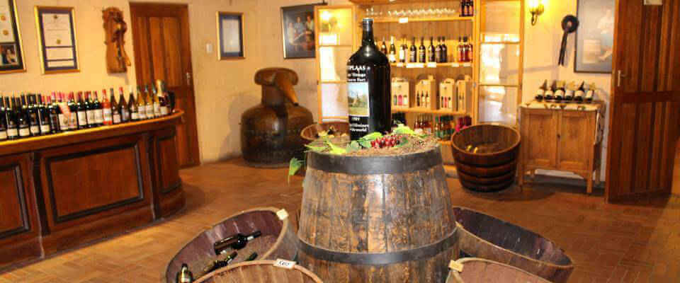
Top quality wines are produced in Calitzdorp mainly by Boplaas, De Krans and Calitzdorp Wine Cellar.

Restaurants

Die Bosvarkie Bar Calitzdorp

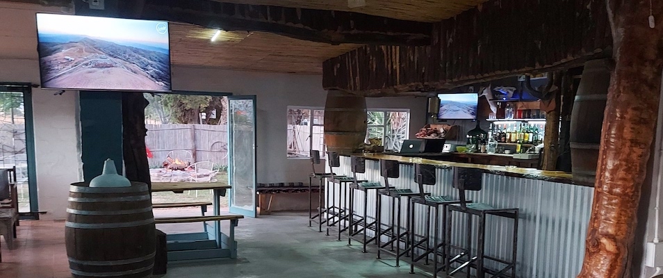
Wine and Dine in one of our local calitzdorp restaurants. The restaurants cater for every taste bud. Anything from international cuisine to local South African dishes are offered.